

Saharan Dust Expected in Coastal Bend this Week
Air quality is forecast to reach the middle of the “Moderate” range, meaning that individuals in sensitive groups, such as those with respiratory conditions, may experience health effects.

More Than 200 Rescued in Rio Grande Valley After Severe Storms
Local officials also reported at least three people died from the rainstorm.

Below Average Rainfall Predicted Though April
The City continues to investigate potential groundwater sources to supplement reservoir supplies.

Protect the Four Ps: People, Pets, Property, and Plants
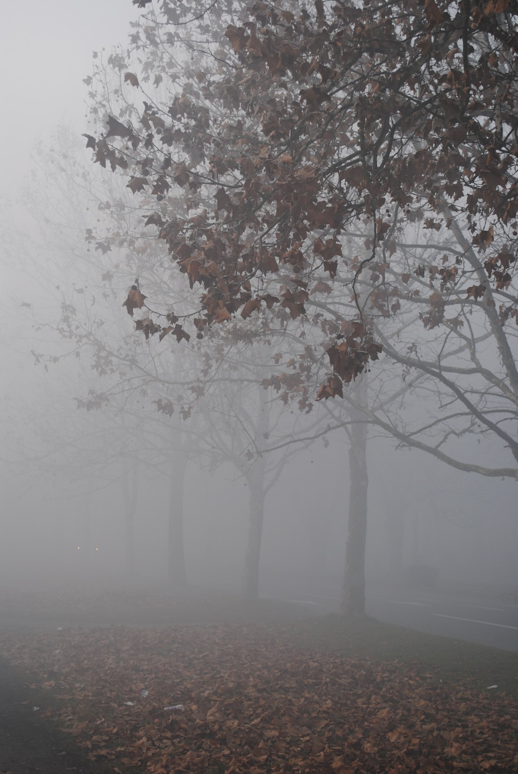
The National Weather Service forecasts that a strong Canadian cold front will move into the area Tuesday night with very cold air filtering behind.


City Urges Residents to Prepare for Freezing Conditions
The National Weather Service forecasts a strong Arctic cold front will move into the Corpus Christi area Sunday.

ERCOT Says the Power Grid is Stable
The state’s electric grid operator issued a weather watch until Friday but says it doesn’t expect power disruptions as demand rises.

Texas is Better Prepared for Extreme Cold this Winter
Additional power supply and continued weatherization efforts will lower the risk of power outages.

Drivers Should Prepare for Longer Commute Times
US Highway 181 is closed in both directions, and SH 35 is closed in Gregory.

Sandbags Available to Bishop Residents
The City of Bishop is providing sandbags to residents today and tomorrow.

Heavy Rain Forecasted
Heavy rains are forecasted for the Coastal Bend area Tuesday night through Thursday.

Corpus Christi Continues to Monitor Coastal Flooding
The National Weather Service is expecting minor coastal flooding along many of the City’s beaches today, May 27th.

See the Scope of Flooding in East Texas
These graphics show how widespread flooding was in East Texas in late April and early May.

Air Quality Impacted by Elevated Levels of Particle Matter
The particle pollution is caused by light to moderate residual smoke from central-southern Mexico, Central America, and the Yucatan Peninsula.

East Texas Wait for Evacuation Orders After Significant Rainfall
East Texas has been hit by several severe rainstorms this spring, and several counties have declared disasters.

Some Areas in Texas are Starting the Year with Low Water Reserves
In Corpus Christi, with 421,000 people in its two-county metro area combined, reservoirs dropped from 53.7% full in 2022 to 43.6% in 2023 to 30.5% this month.

ERCOT has Issued Second Conservation Appeal
ERCOT has issued a second conservation appeal and is urging residents to voluntarily reduce electricity consumption, if safe, for Tuesday, January 17, from 6 am - 9 am.

Texans Asked to Conserve Energy Monday
The conservation request is from 6 a.m. to 10 a.m. Monday, when the sun is fully up.
Protect People, Property and Pets During Freezing Conditions
The National Weather Service forecasts a strong Arctic cold front will move into the Coastal Bend area Sunday, resulting in below-freezing temperatures Monday and Tuesday night with cold wind chill values across the region through Wednesday morning.

Texas Asked residents to Conserve Power for Four Consecutive Days
The state's grid operator asked Texans to conserve electricity for the fourth consecutive day Sunday as intense heat threatened to cause a power-supply emergency.